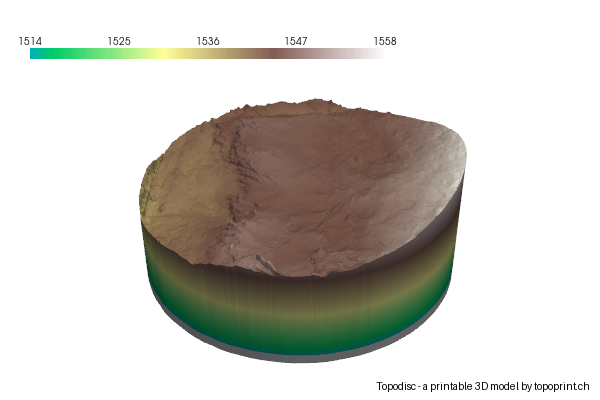
Data Credits: In addition to swissALTI3D, swissBUILDINGS3D, swissTLM3D, this topodisc was created with the following data:
Photogrammetric DEM of the Blatten glacier collapse: Simeon Schmauß - created from swisstopo Rapid Mapping oblique imagery, CC BY 4.0
Disc diameter: 110 [meter] - The physical diameter of your topodisc in the real world.
Model Size: 100.0 mm - The physical width of the model when printed.
Map scale: 1:1'100 - Ratio between real world and model size.
Vertical Scale: 1.0x vertical exaggeration - Determines how pronounced the height differences are
Data credits: swissALTI3D, swissBUILDINGS3D 2.0, swissTLM3D, Copernicus DEM GLO-30 (C) European Union, Copernicus Land Monitoring Service.