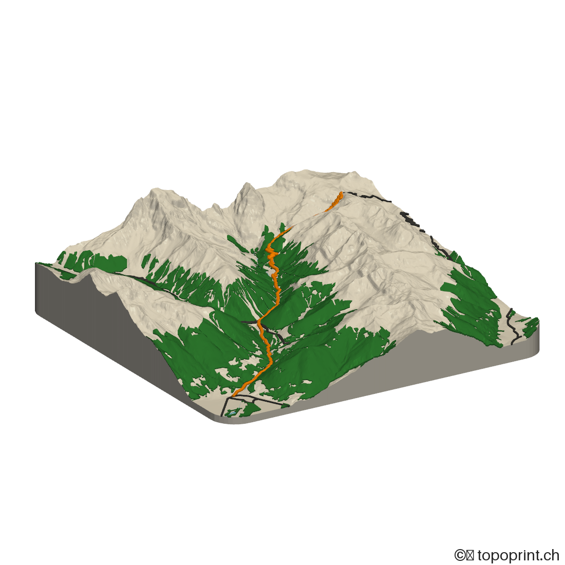
Data credits: Some of the data selected for this model requires attribution. Source and licence links are preserved from the provider catalogue:
Elevation adapted into a 3D-printable model via Mapterhorn (https://mapterhorn.com/attribution): DLR e.V. 2010-2014, Airbus Defence and Space GmbH 2014-2018, provided under COPERNICUS by the European Union and ESA. All rights reserved. Accessed via OpenTopography and AWS Open Data. - COPERNICUS GLO-30 (COPERNICUS full, free and open license); source: https://dataspace.copernicus.eu/explore-data/data-collections/copernicus-contributing-missions/collections-description/COP-DEM; licence: https://github.com/mapterhorn/mapterhorn/blob/main/source-catalog/glo30/LICENSE.pdf; Amt für Landesplanung und Kartografie, Autonome Provinz Bozen - Digitales Geländemodell (DGM 2,5m) (Creative Commons CCZero); source: https://natur-raum.provinz.bz.it/de/digitale-hohenmodelle; licence: https://github.com/mapterhorn/mapterhorn/blob/main/source-catalog/itbozen/LICENSE.pdf; Regione Lombardia - DTM 5X5 - Modello digitale del terreno (ed. 2015) (CC BY 4.0); source: https://geodati.gov.it/geoportale/eng/metadata-search-results?keyword=dfc98d60-5f02-4a2b-8113-5ad24cc53a9c; licence: https://github.com/mapterhorn/mapterhorn/blob/main/source-catalog/itlombardia/LICENSE.pdf; Federal Office of Topography swisstopo - swissALTI3D (Open Government Data); source: https://www.swisstopo.admin.ch/en/height-model-swissalti3d; licence: https://github.com/mapterhorn/mapterhorn/blob/main/source-catalog/swissalti3d/LICENSE.pdf; Istituto Nazionale di Geofisica e Vulcanologia (INGV) - TINITALY, a digital elevation model of Italy with a 10 meters cell size (Version 1.1) (Creative Commons Namensnennung 4.0 International (CC BY 4.0)); source: https://tinitaly.pi.ingv.it/Download_Area1_1.html; licence: https://github.com/mapterhorn/mapterhorn/blob/main/source-catalog/tinitaly/LICENSE.pdf; © MapTiler © OpenStreetMap contributors
Disc diameter: 19432 [meter] - The physical diameter of your topodisc in the real world.
Model Size: 150.0 mm - The physical width of the model when printed.
Map scale: 1:129'548 - Ratio between real world and model size.
Vertical Scale: 1.1x vertical exaggeration - Determines how pronounced the height differences are
Made from: Mapterhorn - the datasets selected for this job. Scale-dependent processing may omit features that would be too small to print.